Map polygons for The Netherlands
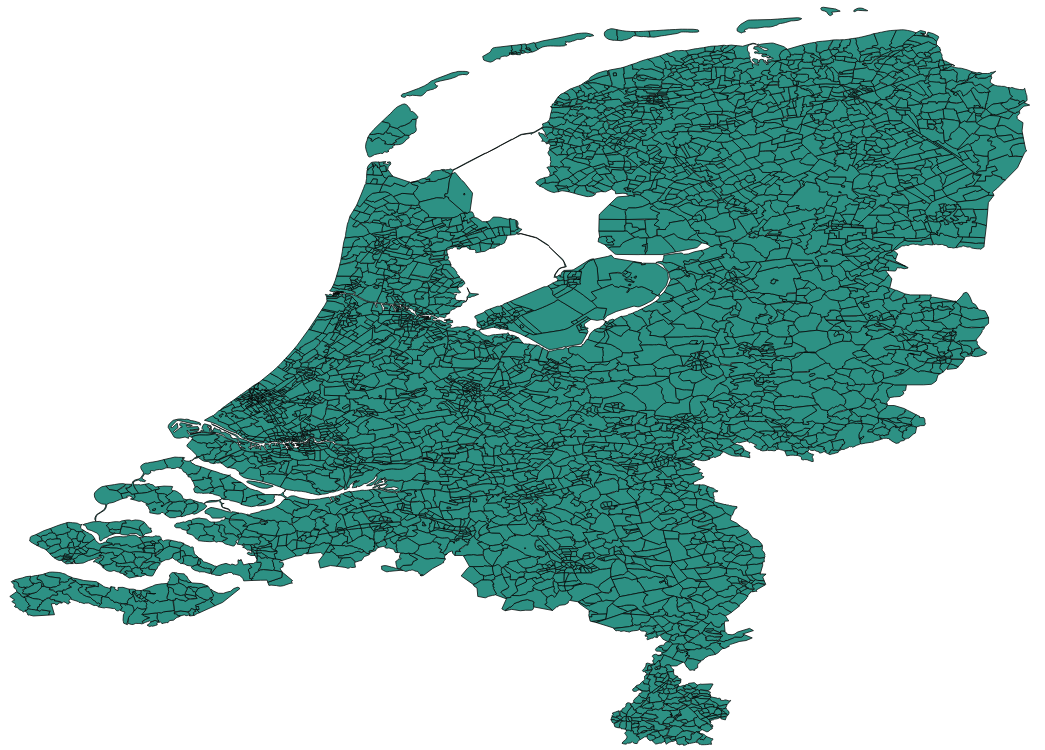
For one of our project we needed to add polygons to a Google Map. Seems water-free data (provinces, townships, postalcodes) for The Netherlands is scarce. We found provinces pretty quickly but as you can see, they include water as well.. and we have quite some of that here.
Getting rid of the water
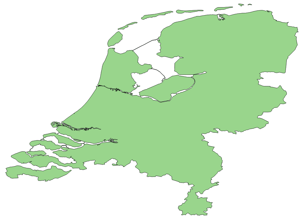
Luckily the polygons for Dutch postalcodes (map) don’t include water! Question is, how to use these outer bounds to somehow subscract them from the porvinces polygons? Well.. QGis is the answer here. This great open souces tool with 1.0 UI does the job.
We used the postalcode one to get country bounds (QGis => Geoprocessing Tools => Dissolve):
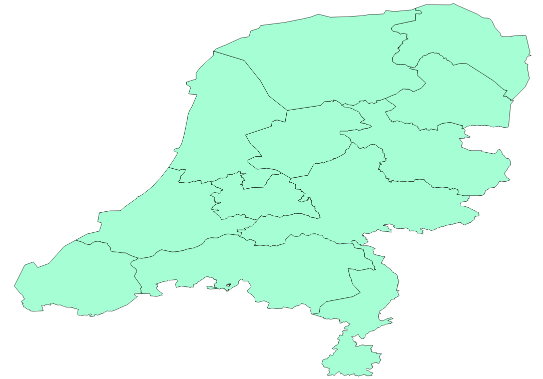
And then use the country boundry to cut off the water parts in our original provinces polygon (QGis => Geoprocessing Tools => Intersect):
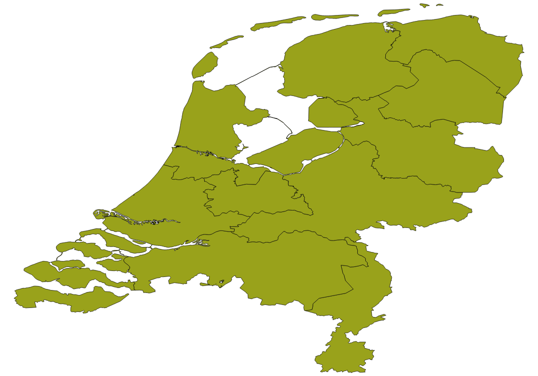
BAM we’re done!